About
Education
Discuss
TraitBank
Sign In
Sign Up
Language
Deutsch
English
Español
français
italiano
Nederlands
Piemontèis
Português do Brasil
suomi
Türkçe
čeština
Ελληνικά
македонски
Українська
العربية
简体中文
繁體中文
names in breadcrumbs
vernacular
scientific
About
Education
Discuss
TraitBank
Sign In
Sign Up
en
Deutsch
English
Español
français
italiano
Nederlands
Piemontèis
Português do Brasil
suomi
Türkçe
čeština
Ελληνικά
македонски
Українська
العربية
简体中文
繁體中文
names in breadcrumbs
vernacular
scientific
Creatures
»
…
»
Plants
»
Red Algae
»
…
Creatures
»
Cellular Organisms
»
Eukaryotes
»
Plants
»
Red Algae
»
Florideae
»
Nemaliophycidae
«
Palmariales
collect
overview
data
media
articles
maps
names
license
any license
CC-BY
CC-BY-NC
CC-BY-NC-SA
CC-BY-SA
No copyright
provider
any provider
CalPhotos
Flickr BHL
iNaturalist
Wikimedia Commons
Barcode of Life Data Systems
Flickr Group
BioImages, the virtual fieldguide, UK
1
2
3
4
5
…
Last »
cc-by
trusted
cc-by-nc-sa-3.0
trusted
cc-by-nc-sa-3.0
trusted
cc-by-nc-4.0
trusted
cc-by-nc-4.0
trusted
cc-by-nc-4.0
trusted
cc-by-nc-4.0
trusted
cc-by-nc-4.0
trusted
cc-by-nc-4.0
trusted
cc-by-nc-4.0
trusted
cc-by-nc-4.0
trusted
cc-by-nc-4.0
trusted
cc-by-nc-4.0
trusted
cc-by-nc-4.0
trusted
cc-by-nc-4.0
trusted
cc-by-nc-4.0
trusted
cc-by-nc-4.0
trusted
cc-by-sa-4.0
trusted
cc-by-nc-4.0
trusted
cc-by-nc-4.0
trusted
cc-by-4.0
trusted
cc-by-nc-4.0
trusted
cc-by-nc-4.0
trusted
cc-by-nc-4.0
trusted
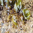
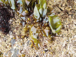
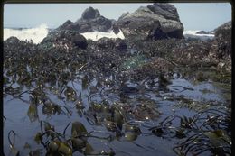
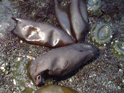
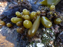
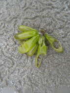
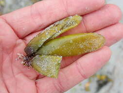
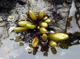
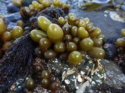
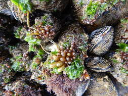
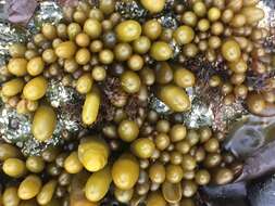
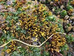
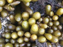
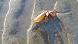
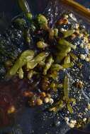
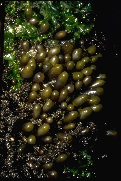
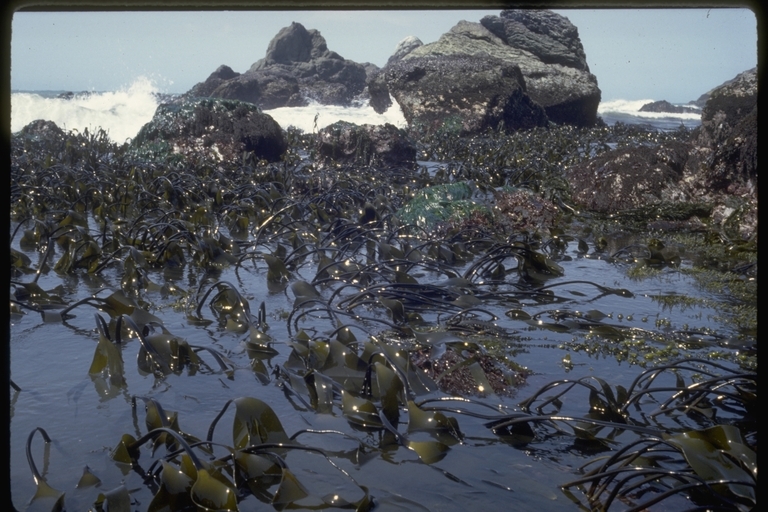
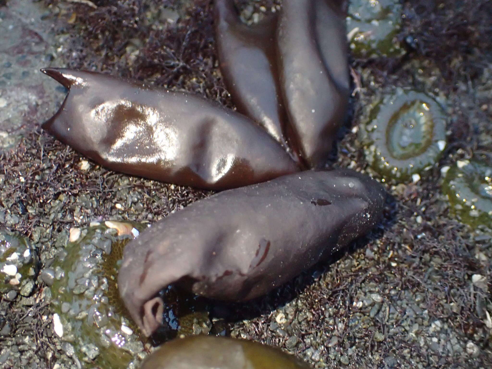
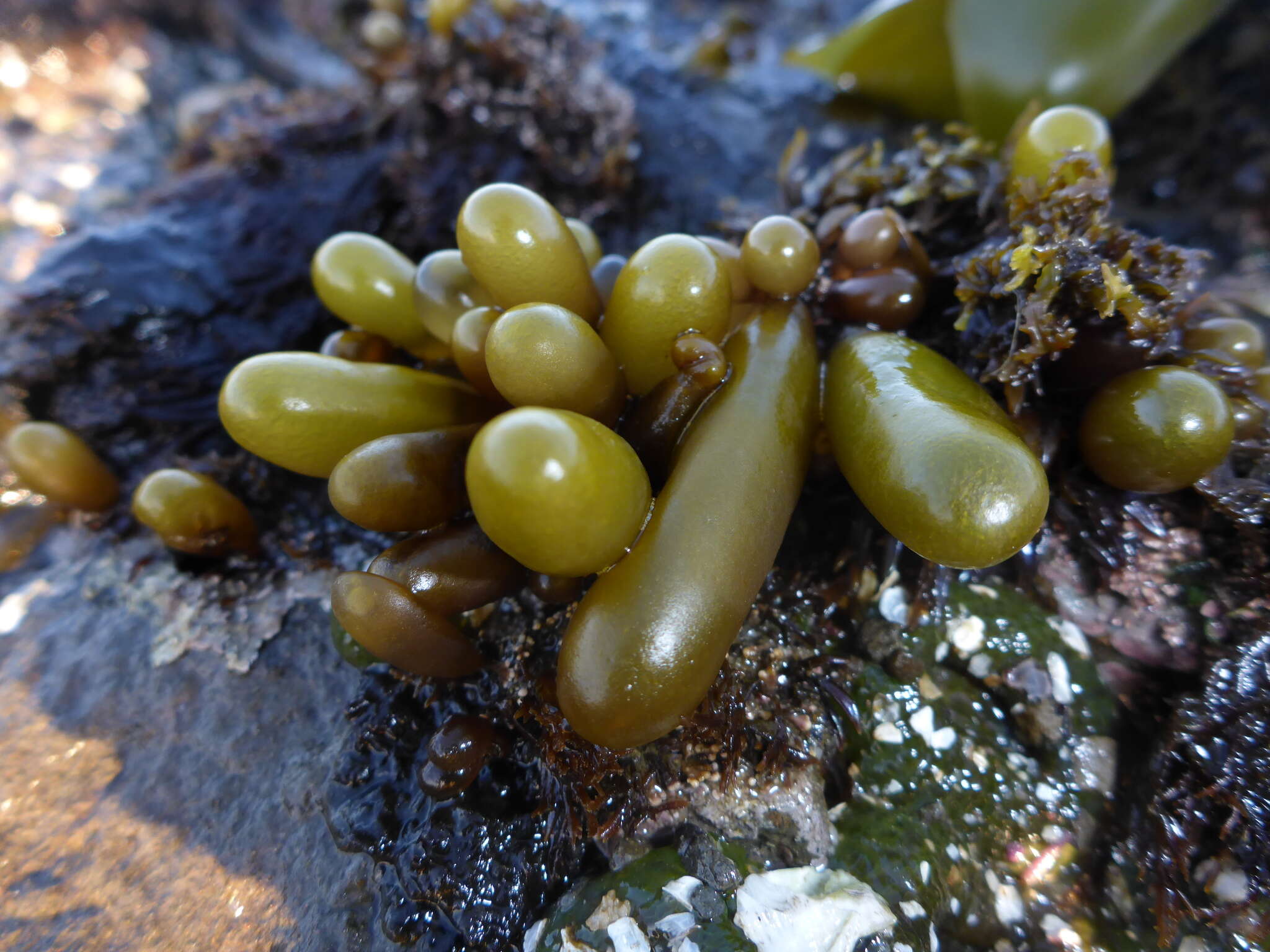
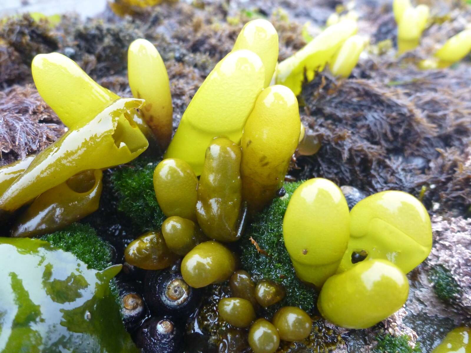
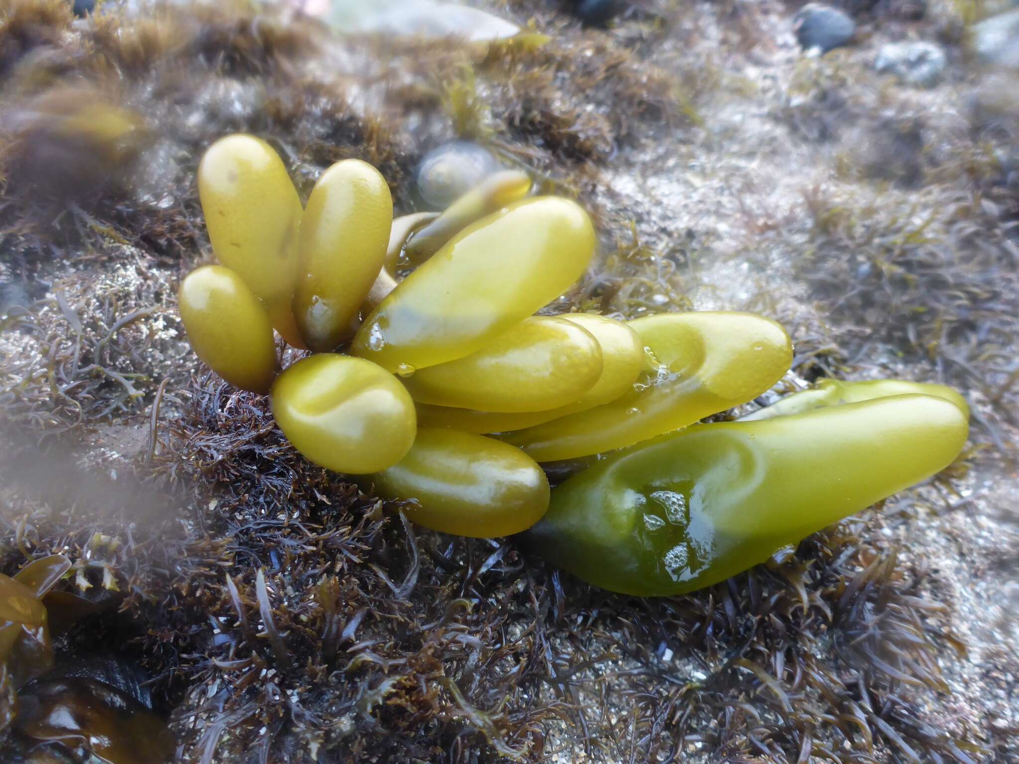
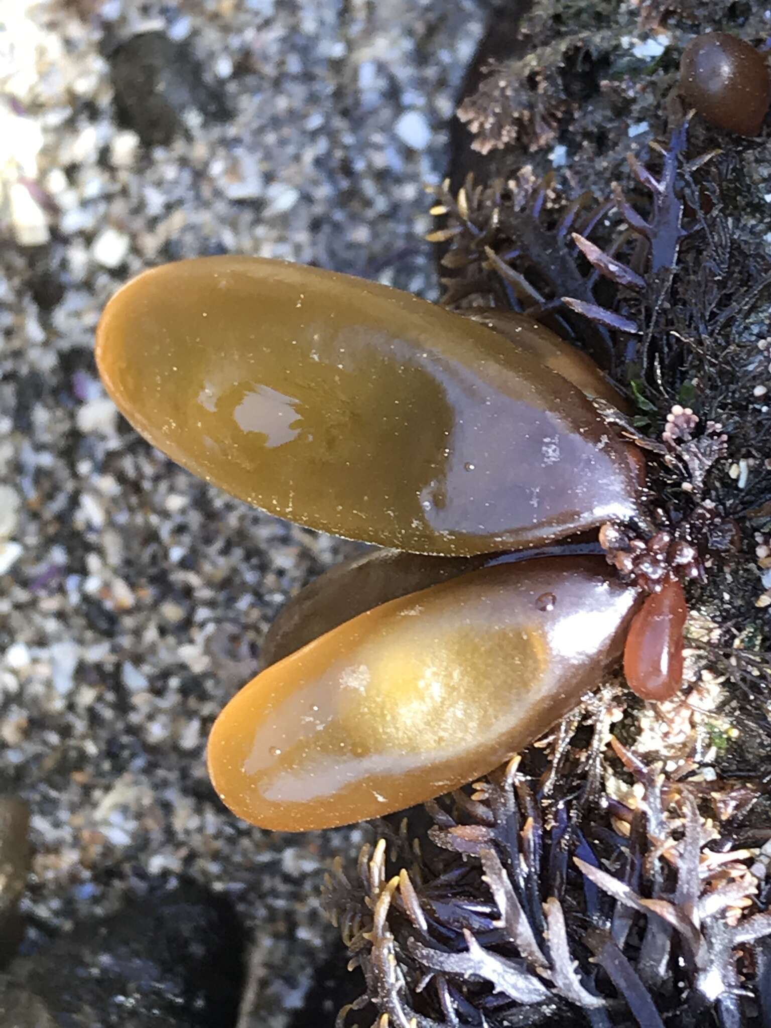
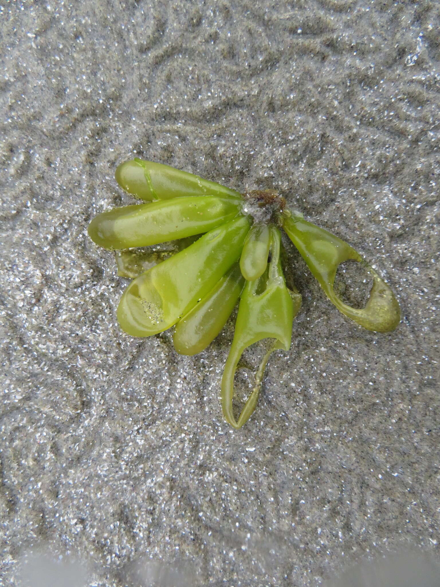
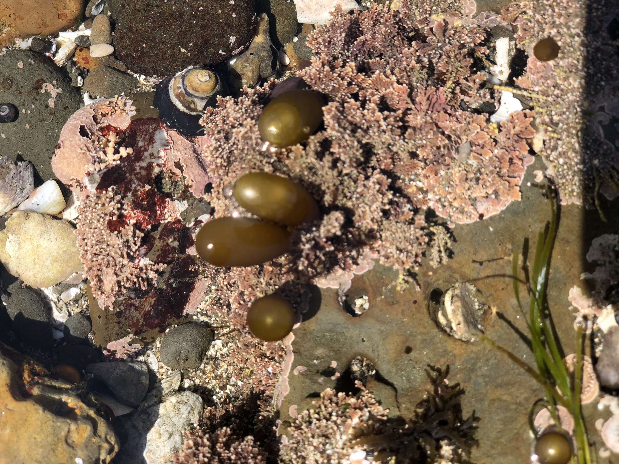
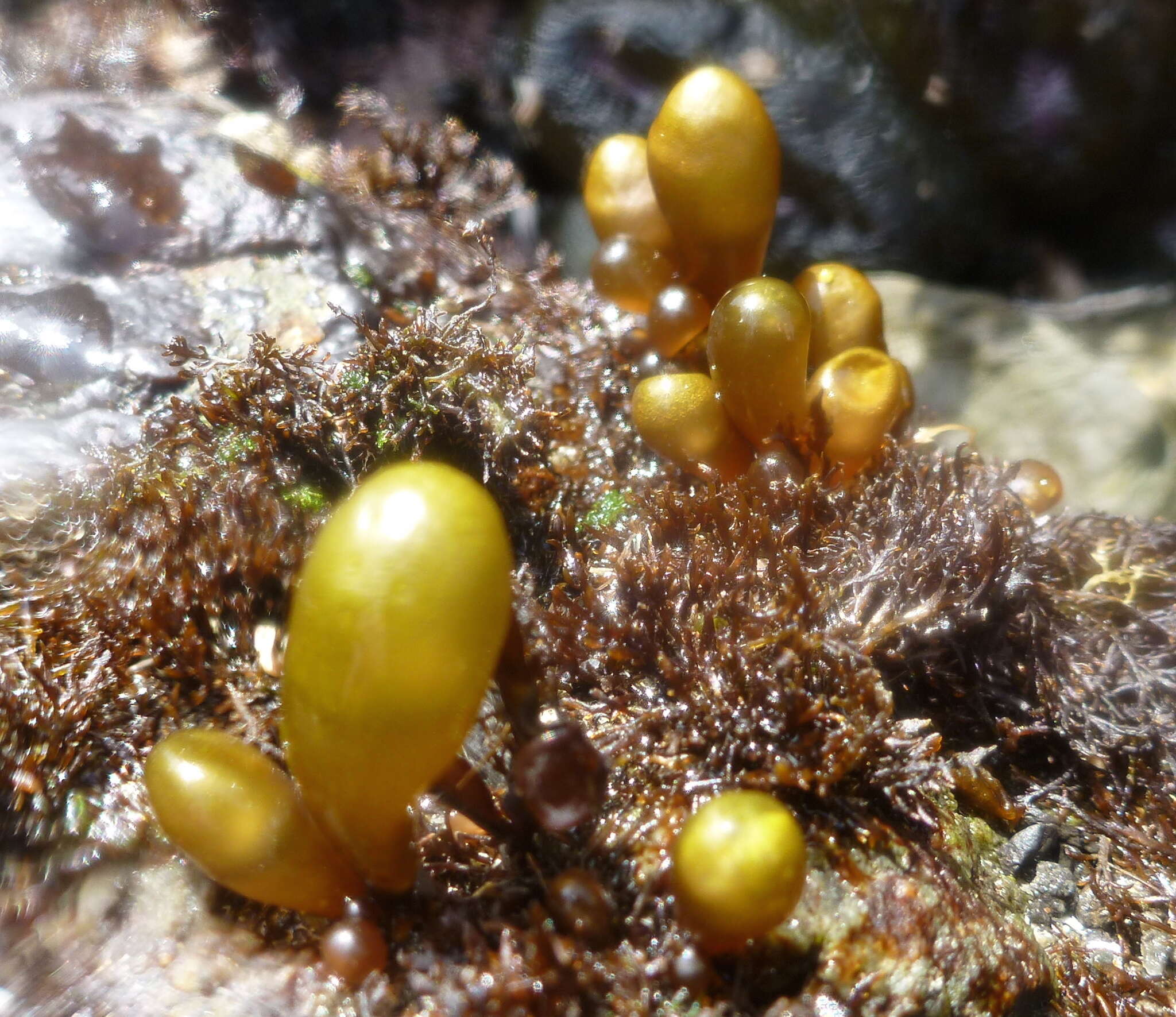
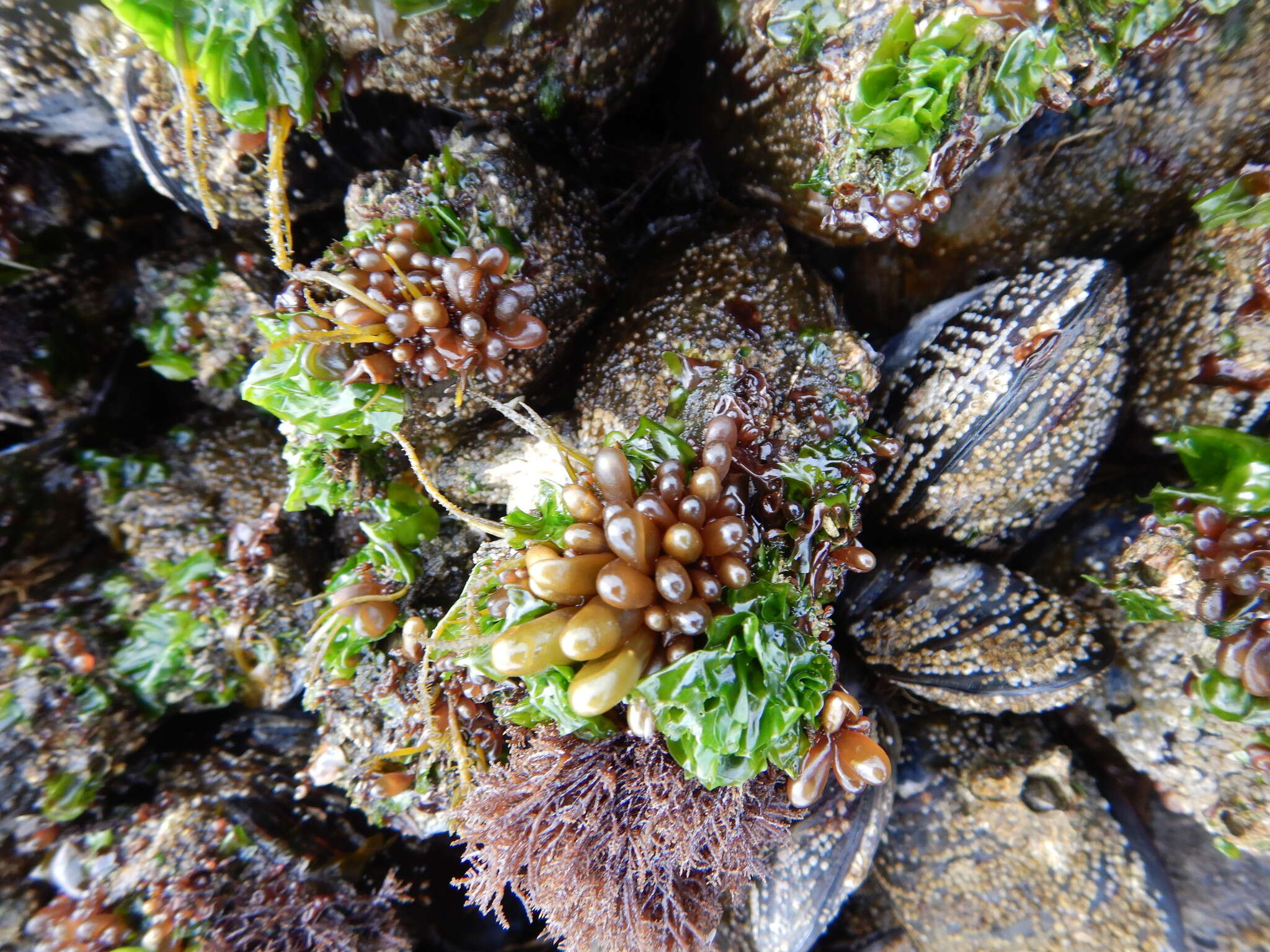
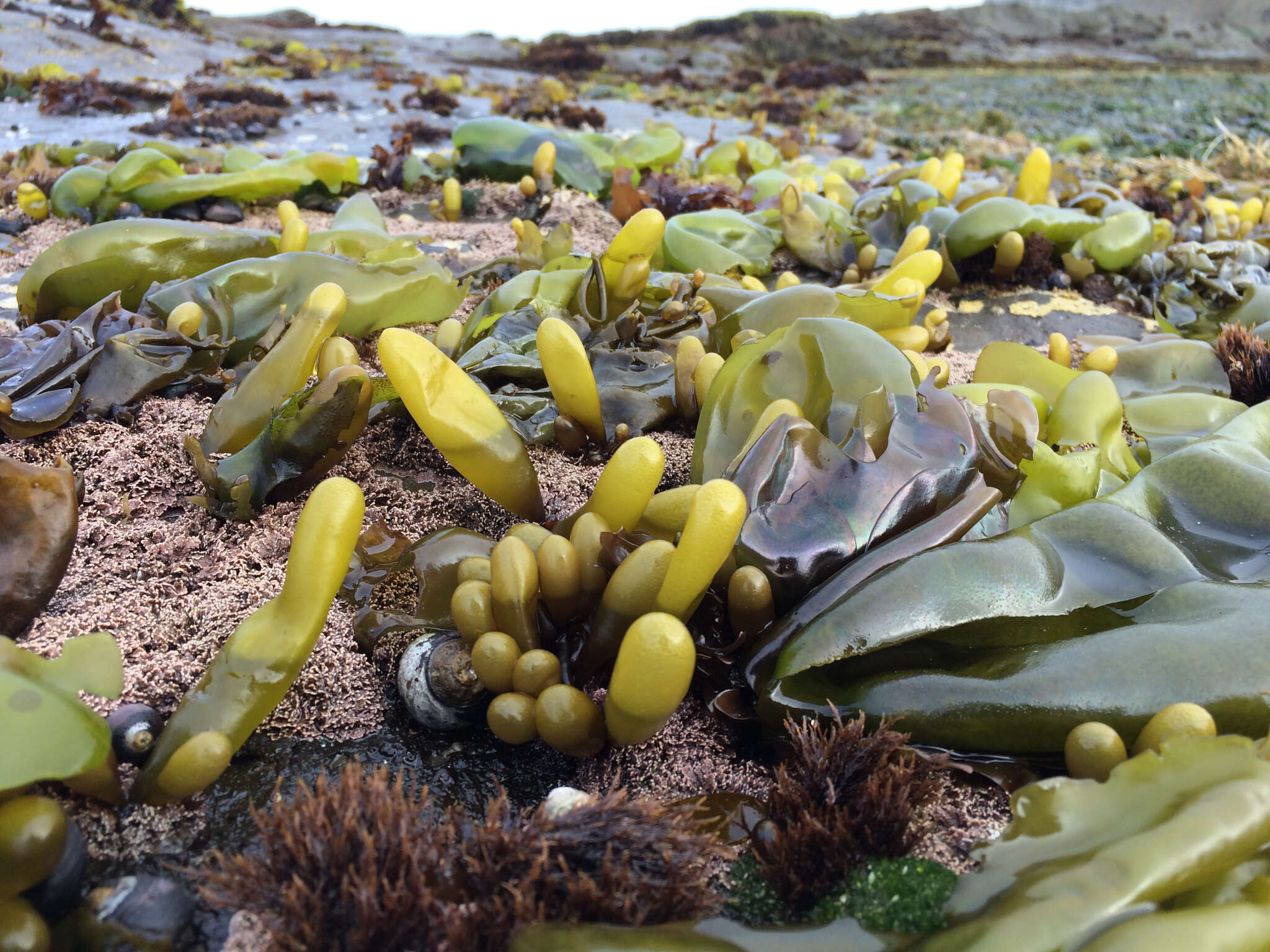
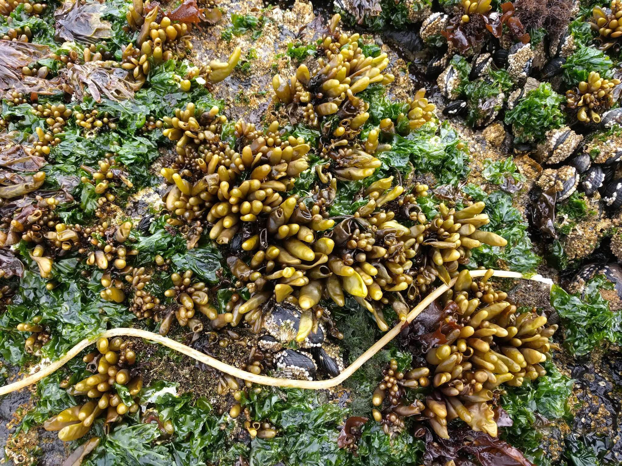
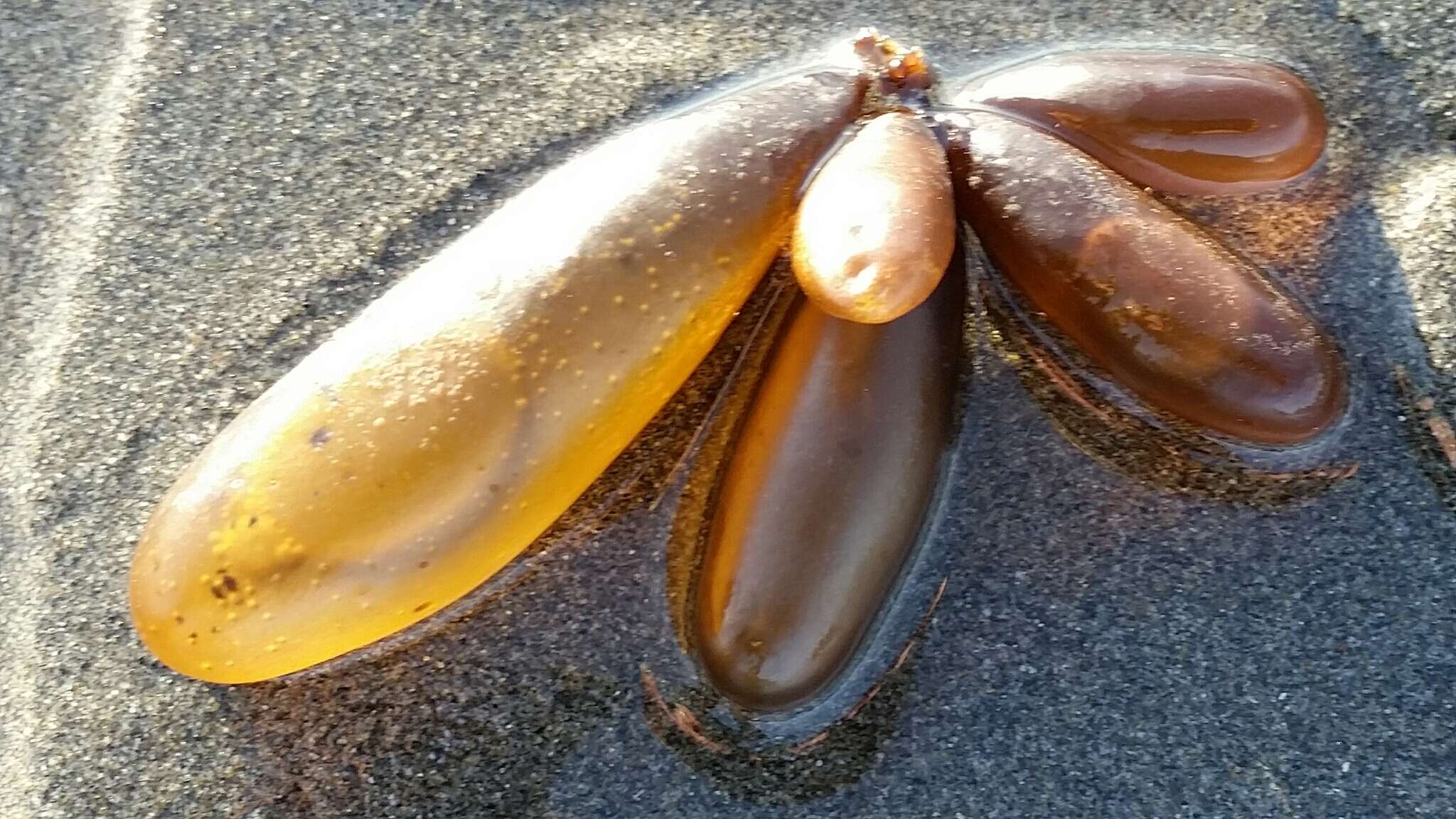
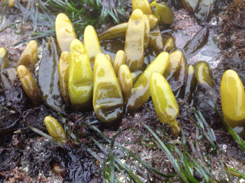
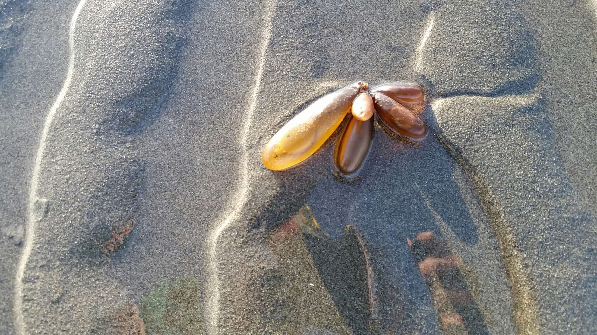
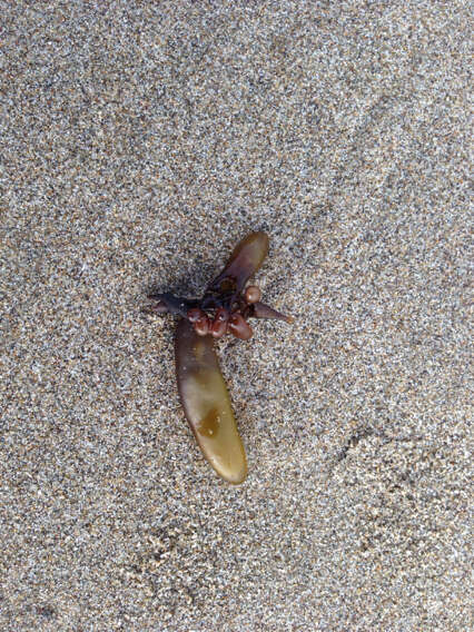
Halosaccion glandiforme
cc-by
holdfast...
Flickr Group
Image of Halosaccion glandiforme
cc-by-nc-sa-3.0
2007 California Academy of Sciences
CalPhotos
Image of Halosaccion glandiforme
cc-by-nc-sa-3.0
2007 California Academy of Sciences
CalPhotos
"
cc-by-nc-4.0
Alex Bairstow
iNaturalist
"
cc-by-nc-4.0
Donna Pomeroy
iNaturalist
"
cc-by-nc-4.0
Alison Young
iNaturalist
"
cc-by-nc-4.0
Leslie Flint
iNaturalist
"
cc-by-nc-4.0
victorrising
iNaturalist
"
cc-by-nc-4.0
Ian Cruickshank
iNaturalist
"
cc-by-nc-4.0
Natalie Downe
iNaturalist
"
cc-by-nc-4.0
Alison Young
iNaturalist
"
cc-by-nc-4.0
Andrew Simon
iNaturalist
"
cc-by-nc-4.0
Ross Millikan
iNaturalist
"
cc-by-nc-4.0
Donna Pomeroy
iNaturalist
"
cc-by-nc-4.0
Mike
iNaturalist
"
cc-by-nc-4.0
vanessavobis
iNaturalist
"
cc-by-nc-4.0
Rebecca Johnson
iNaturalist
"
cc-by-sa-4.0
J Brew
iNaturalist
"
cc-by-nc-4.0
Rebecca Johnson
iNaturalist
"
cc-by-nc-4.0
Bill Rodstrom
iNaturalist
"
cc-by-4.0
Dan Rademacher
iNaturalist
"
cc-by-nc-4.0
Bill Rodstrom
iNaturalist
"
cc-by-nc-4.0
Gena Bentall
iNaturalist
"
cc-by-nc-4.0
Paul Norwood
iNaturalist
1
2
3
4
5
…
Last »