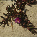
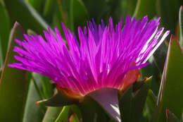
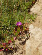
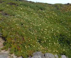
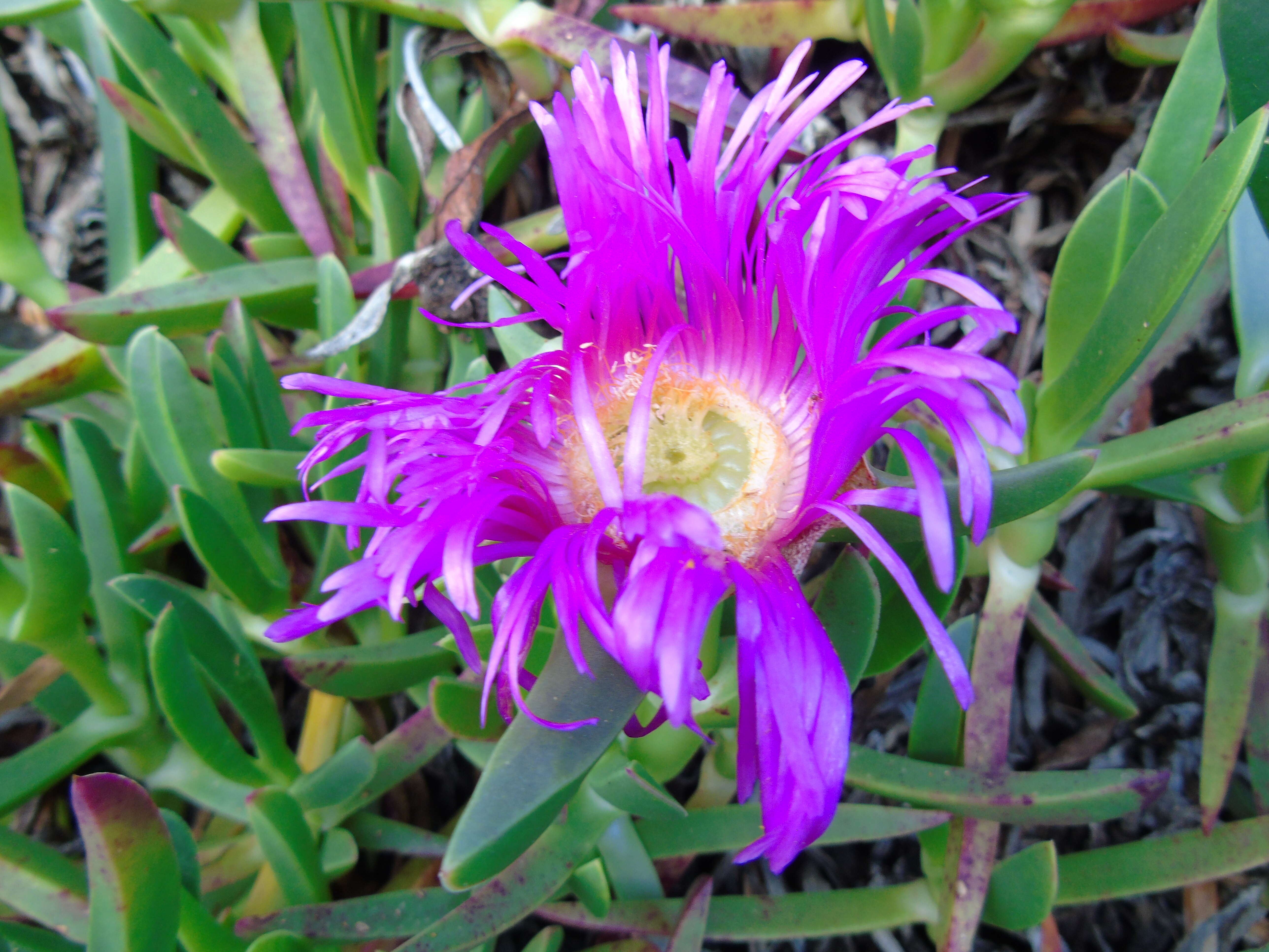
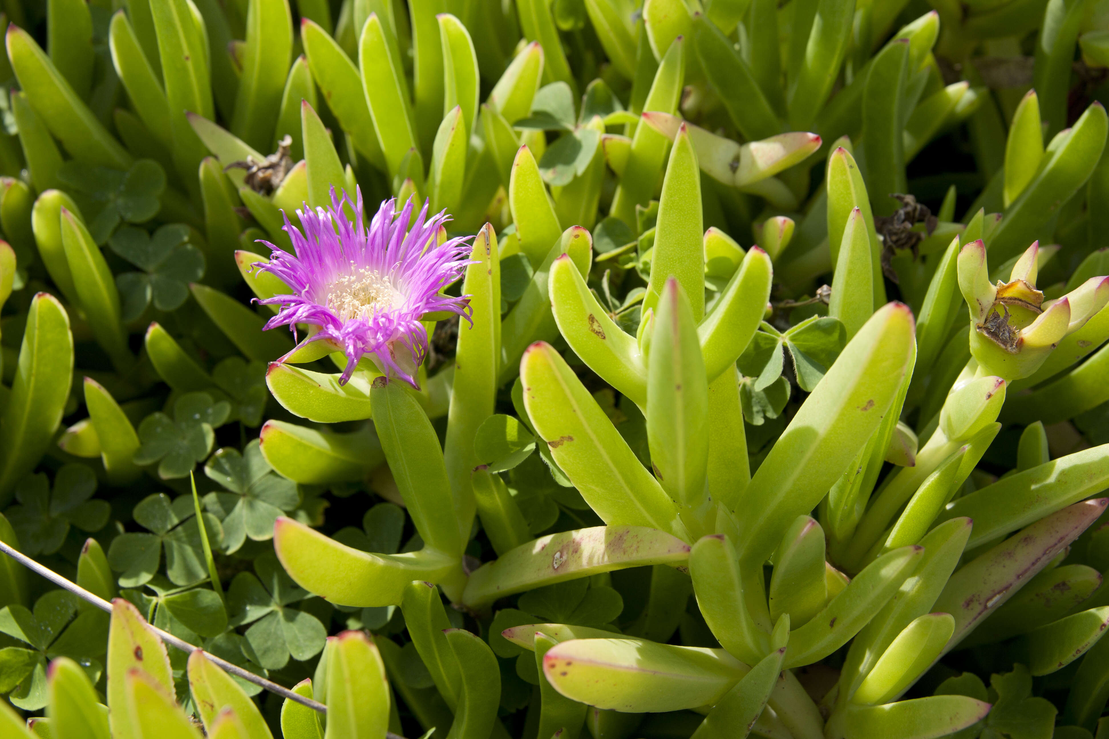
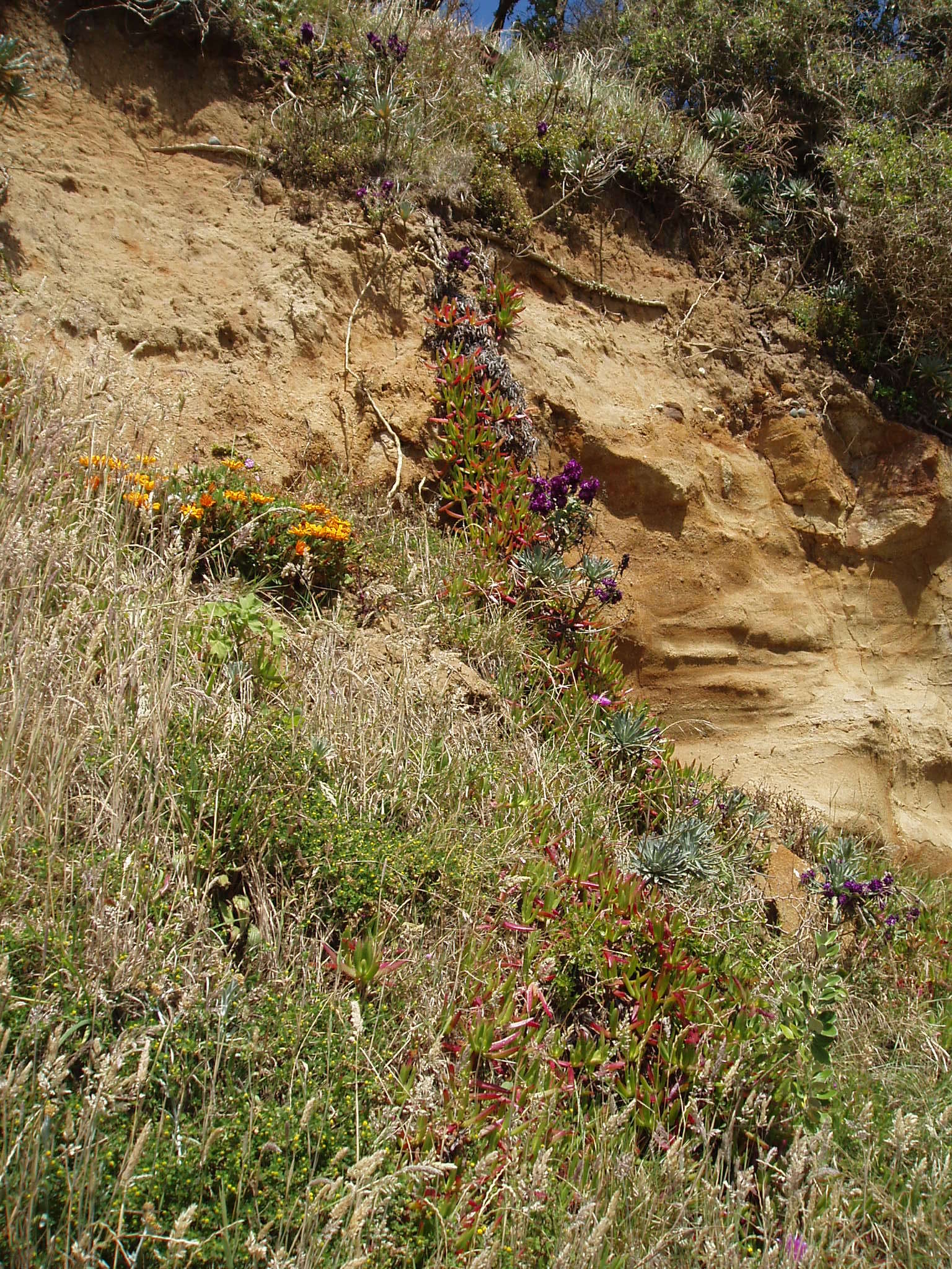
Description: Español: Carpobrotus chilensis (uña de gato), una especie exótica invasora de origen sudafricano que coloniza la costa de Ribadeo (Lugo, Galicia, España). Este ejemplar está cerca del puerto. Date: 14 February 2021, 10:22:26. Source: Own work. Author: Fernando Losada Rodríguez.
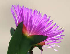
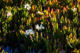
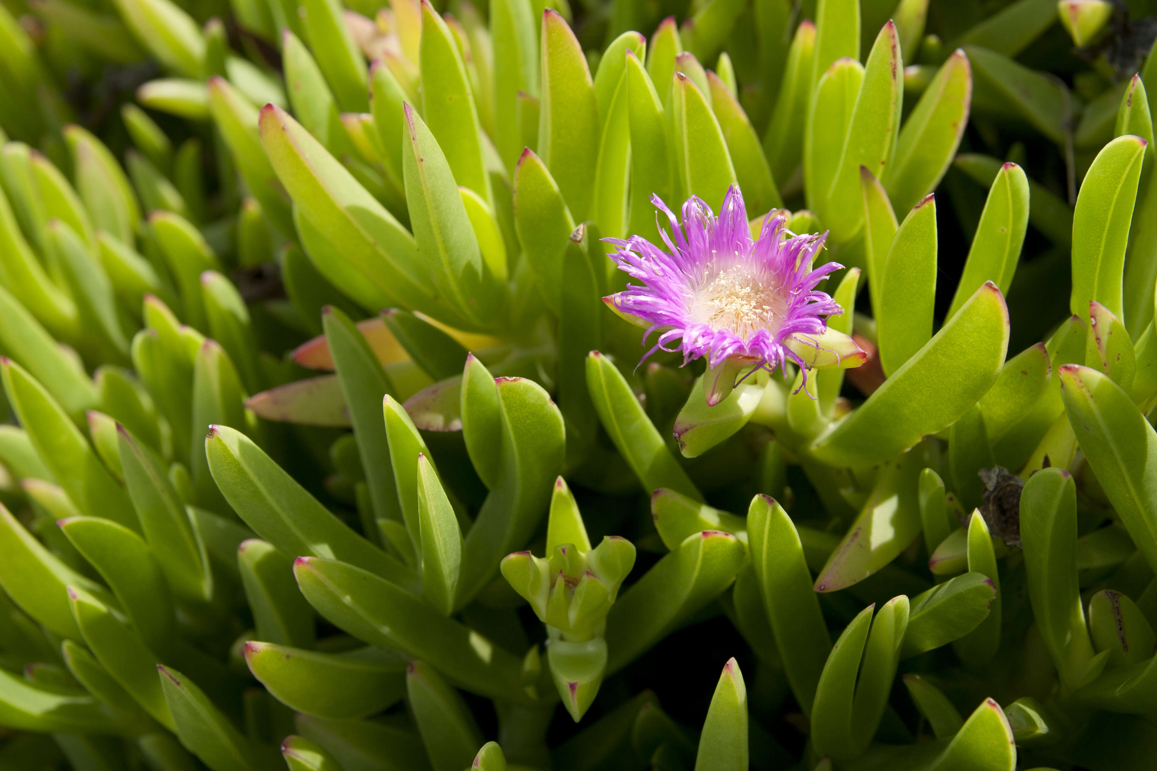
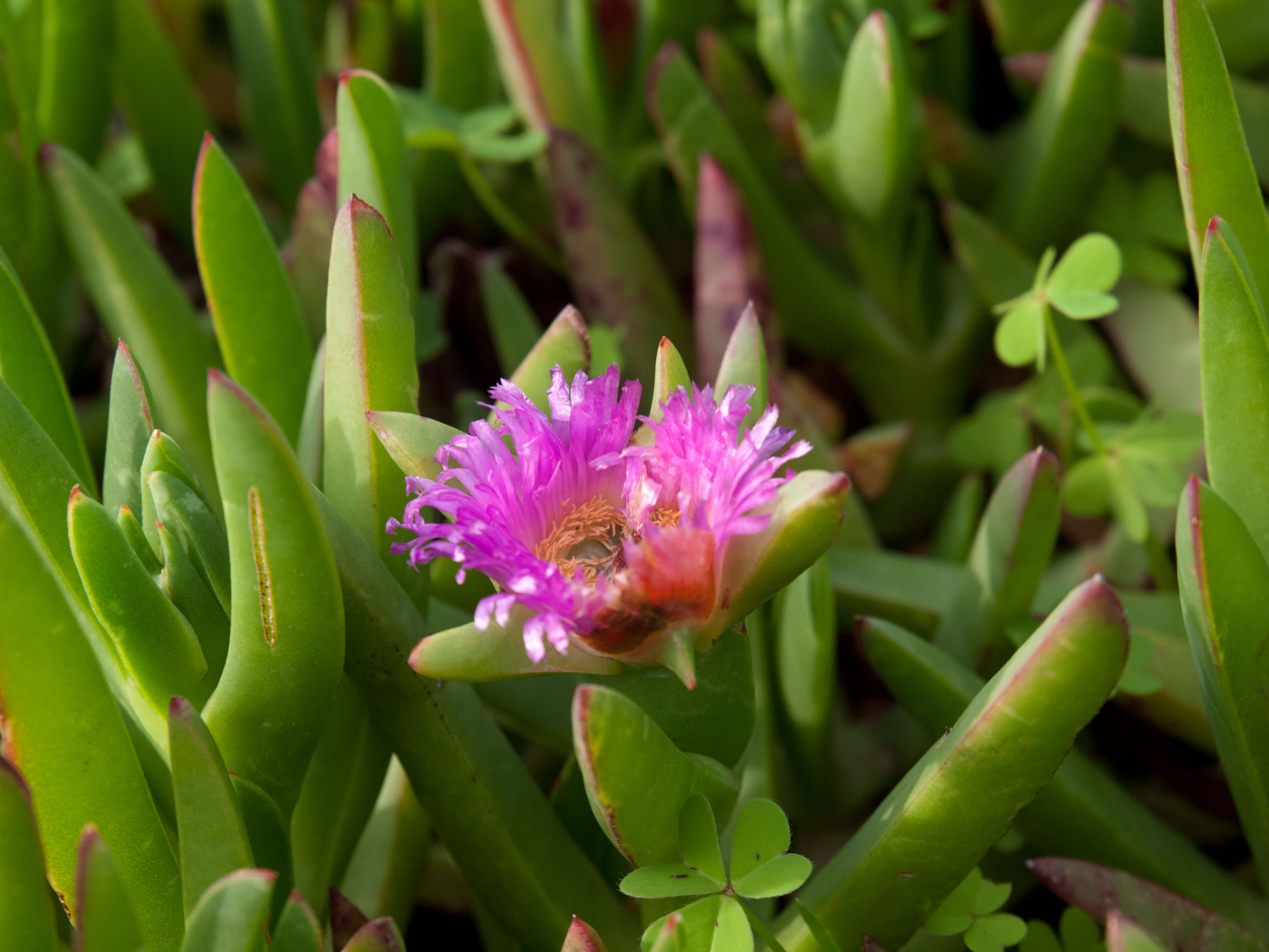
撮影地:千葉県銚子市 Location : Choshi City, Chiba Prefecture, Japan. Description: 日本語: バクヤギク (学名:Carpobrotus chilensis). Date: 28 September 2016. Source: Own work. Author: Σ64. Permission (Reusing this file): I, the copyright holder of this work, hereby publish it under the following licenses: : Permission is granted to copy, distribute and/or modify this document under the terms of the GNU Free Documentation License, Version 1.2 or any later version published by the Free Software Foundation; with no Invariant Sections, no Front-Cover Texts, and no Back-Cover Texts. A copy of the license is included in the section entitled GNU Free Documentation License.http://www.gnu.org/copyleft/fdl.htmlGFDLGNU Free Documentation Licensetruetrue. : This file is licensed under the Creative CommonsAttribution 3.0 Unported license.:. You are free: to share – to copy, distribute and transmit the work to remix – to adapt the work Under the following conditions: attribution – You must attribute the work in the manner specified by the author or licensor (but not in any way that suggests that they endorse you or your use of the work). http://creativecommons.org/licenses/by/3.0 CC BY 3.0 Creative Commons Attribution 3.0 truetrue. You may select the license of your choice.. Other versions: .
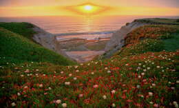
Description: English: CALIFORNIA - FLOWERS of San Luis Obispo Co. Date: 24 March 2008, 14:20:17. Source: https://www.flickr.com/photos/sloalan/2360055456/. Author: ALAN SCHMIERER. Permission(Reusing this file): At the time of upload, the image license was automatically confirmed using the Flickr API. For more information see Flickr API detail. Flickr sets CALIFORNIA - FLOWERS of San Luis Obispo Co.
撮影地:千葉県銚子市 Location : Choshi City, Chiba Prefecture, Japan. Description: 日本語: バクヤギク (学名:Carpobrotus chilensis). Date: 28 September 2016. Source: Own work. Author: Σ64. Permission (Reusing this file): I, the copyright holder of this work, hereby publish it under the following licenses: : Permission is granted to copy, distribute and/or modify this document under the terms of the GNU Free Documentation License, Version 1.2 or any later version published by the Free Software Foundation; with no Invariant Sections, no Front-Cover Texts, and no Back-Cover Texts. A copy of the license is included in the section entitled GNU Free Documentation License.http://www.gnu.org/copyleft/fdl.htmlGFDLGNU Free Documentation Licensetruetrue. : This file is licensed under the Creative CommonsAttribution 3.0 Unported license.:. You are free: to share – to copy, distribute and transmit the work to remix – to adapt the work Under the following conditions: attribution – You must attribute the work in the manner specified by the author or licensor (but not in any way that suggests that they endorse you or your use of the work). http://creativecommons.org/licenses/by/3.0 CC BY 3.0 Creative Commons Attribution 3.0 truetrue. You may select the license of your choice.. Other versions: .
Jim Morefield|sourceurl=https://flickr.com/photos/127605180@N04/16774499346%7Carchive=https://web.archive.org/web/20190127020246/https://www.flickr.com/photos/127605180@N04/16774499346/%7Creviewdate=2019-12-29 04:02:55|reviewlicense=cc-by-sa-2.0|reviewer=FlickreviewR 2
Wikimedia Commons
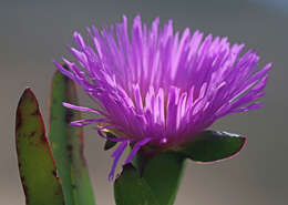
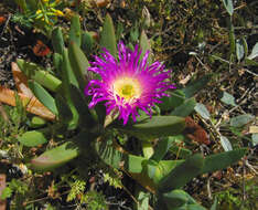
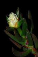
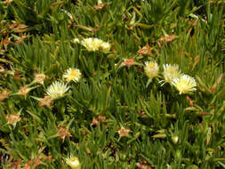
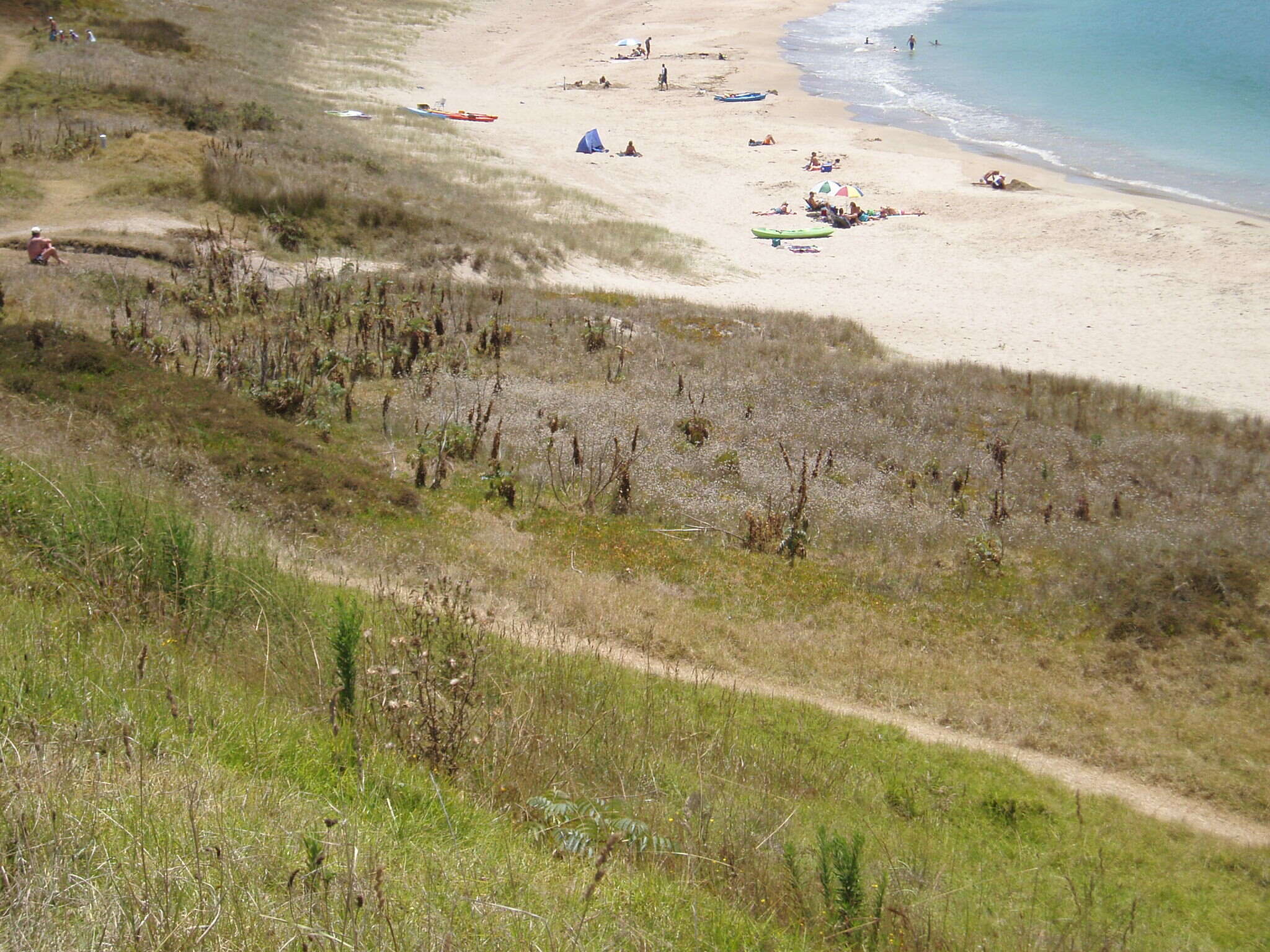
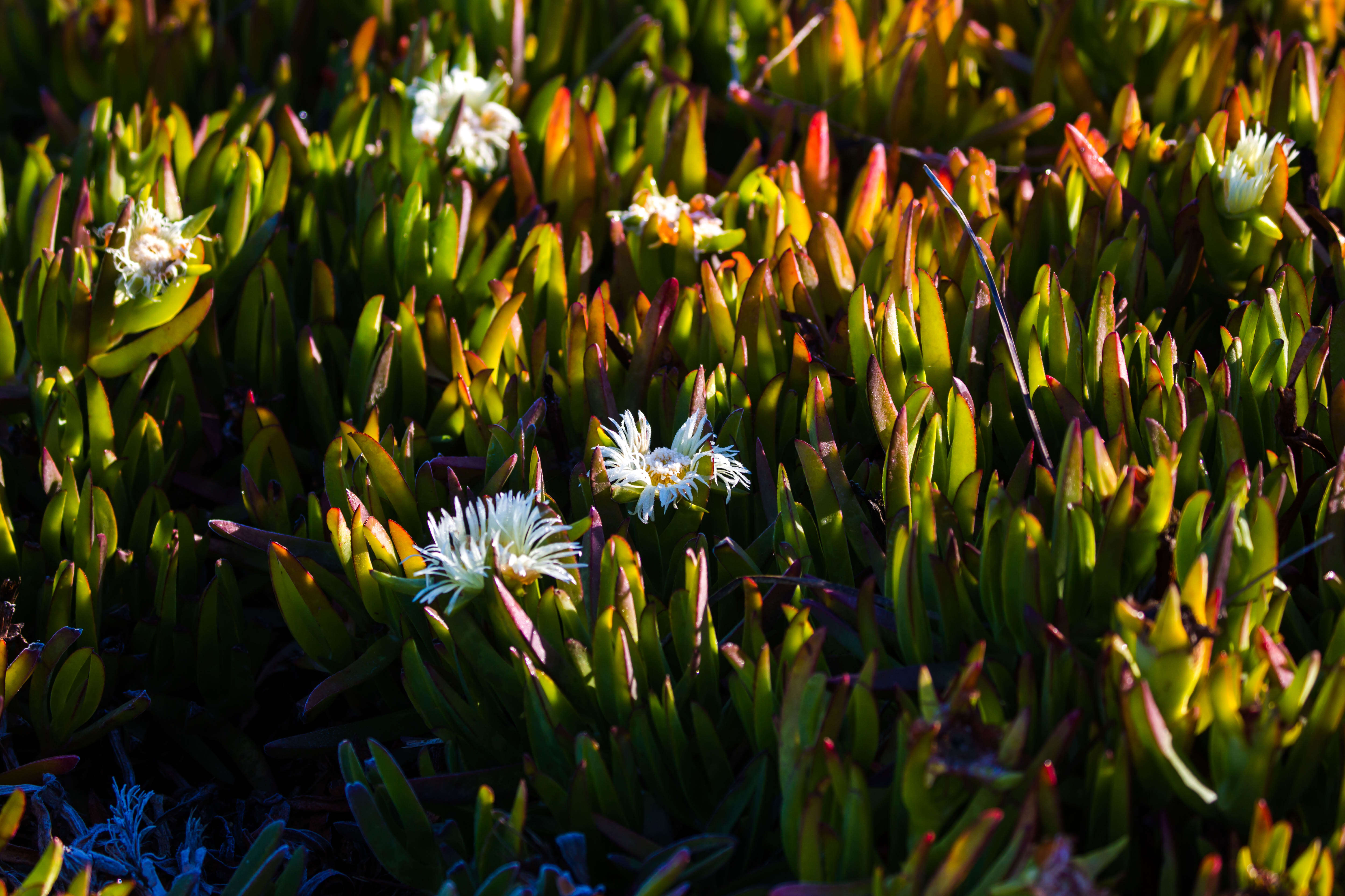
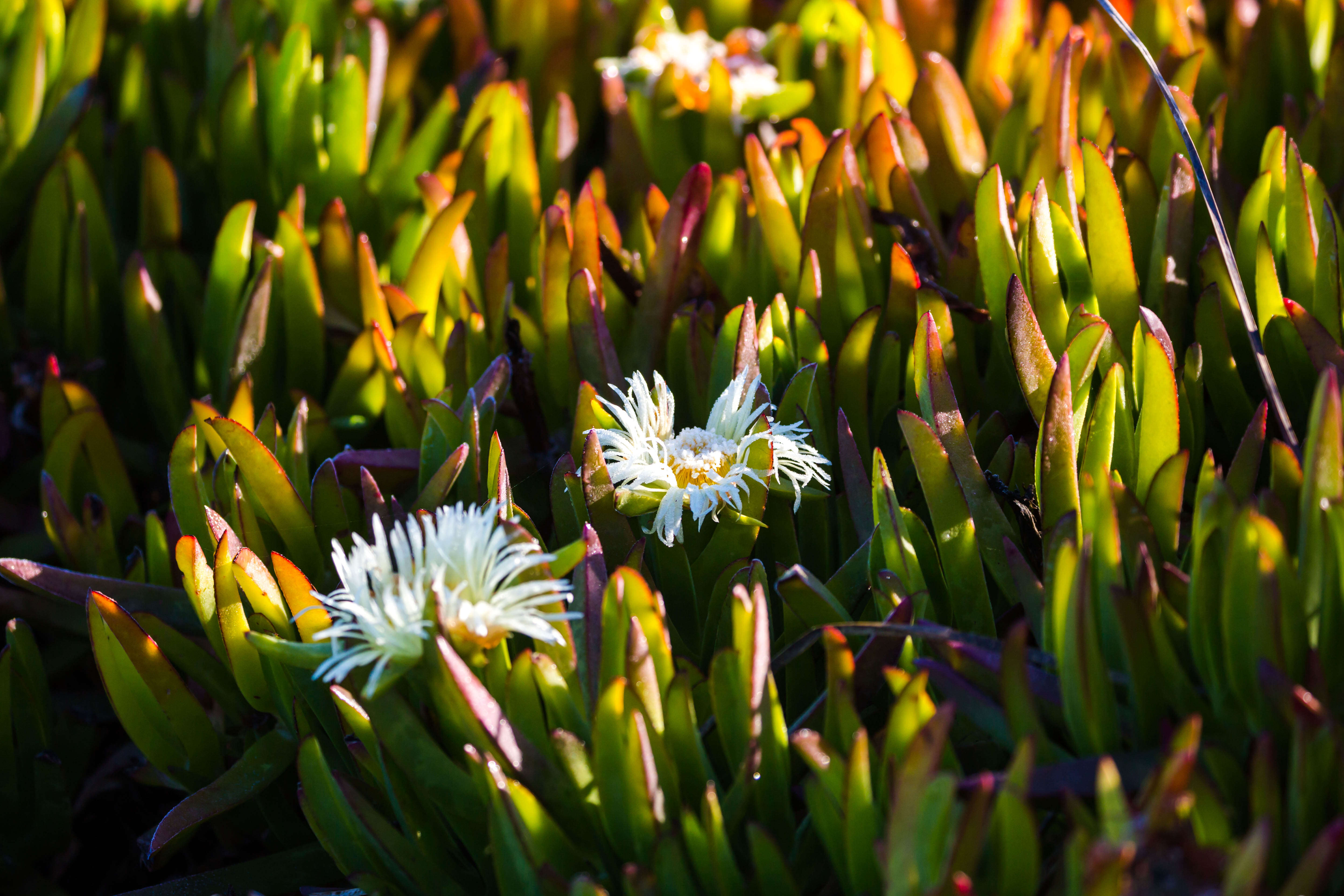
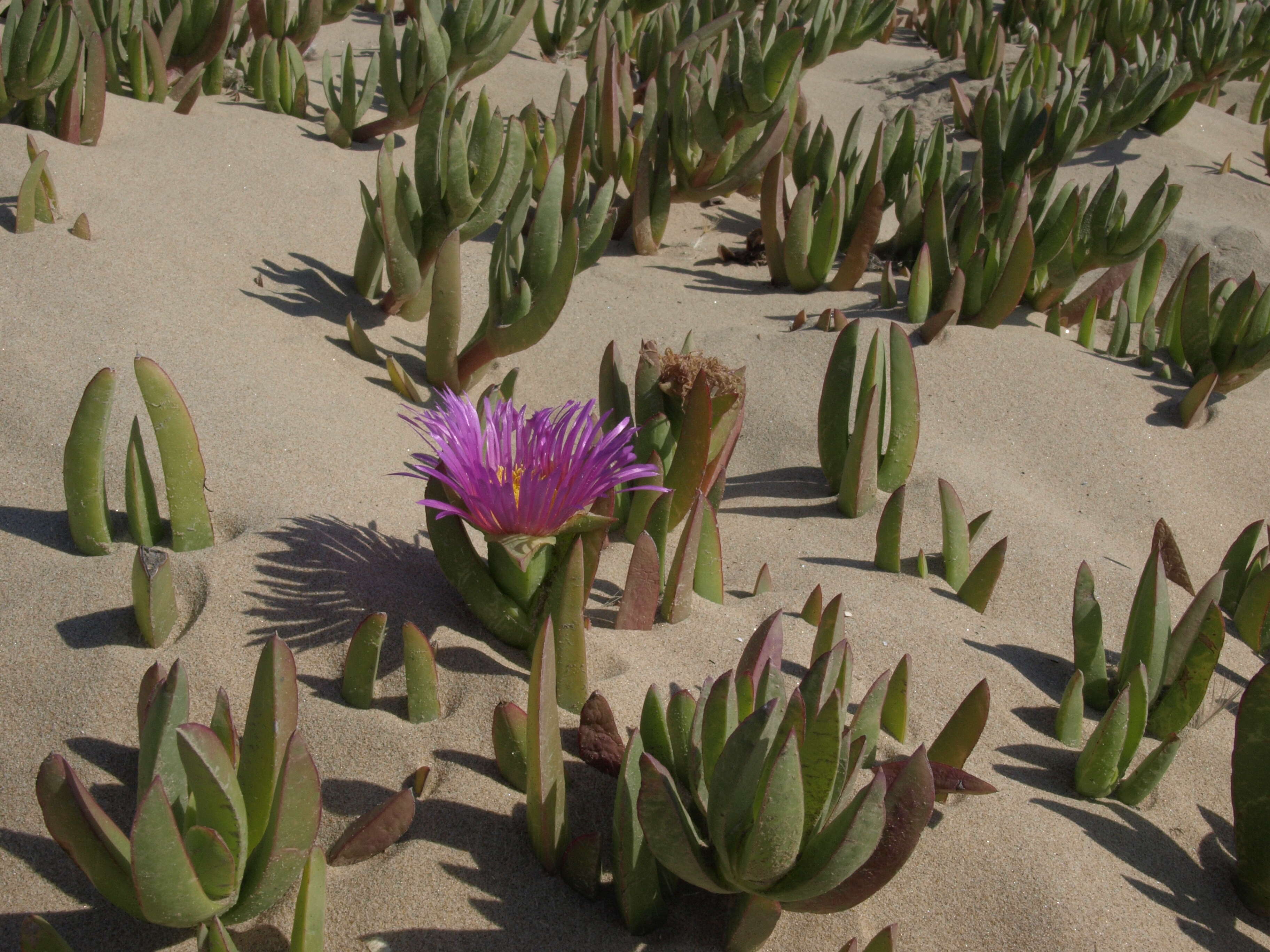
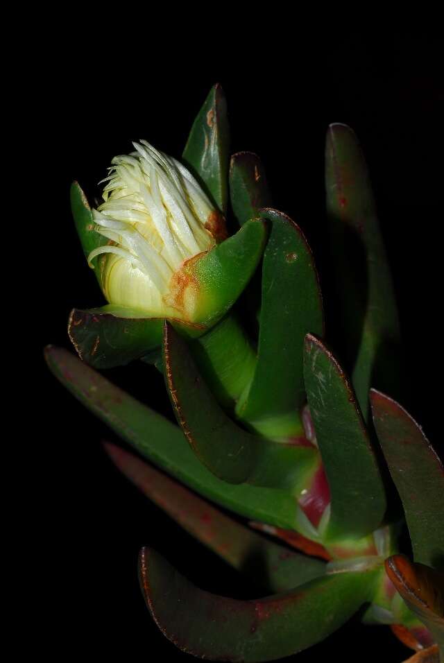
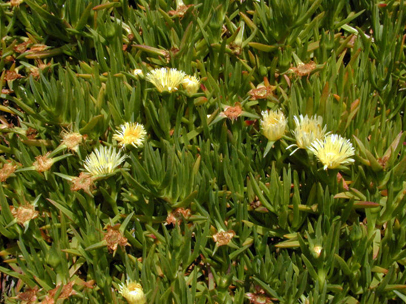
Description: iceplant, Carpobrotus chilensis, Pismo State Beach, elevation 0 m (0 ft). Introduced and invasive here; considered native to southern Africa. Date: 12 October 2013, 15:02. Source: iceplant, Carpobrotus chilensis. Author: Jim Morefield from Nevada, USA. Camera location35° 07′ 05.88″ N, 120° 38′ 01.57″ WView all coordinates using: OpenStreetMap 35.118300; -120.633770.
Maria (Masha) Kuzmina. Canadian Center for DNA Barcoding. Maria (Masha) Kuzmina. Year: 2011. Contact: mkuzmina@uoguelph.ca.
Barcode of Life Data Systems
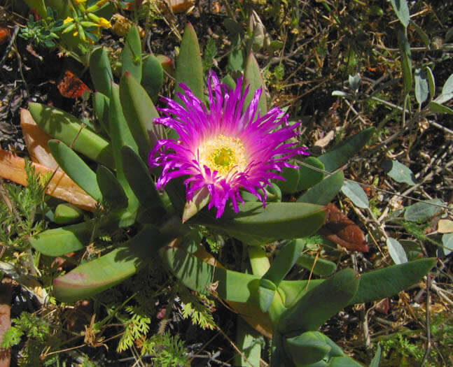
Longitude (deg): -4.2. Latitude (deg): 51.1. Longitude (deg/min): 4° 20' W. Latitude (deg/min): 51° 10' N. Vice county name: North Devon. Vice county no.: 4. Country: England. Stage: Plant. Identified by: Malcolm Storey. Category: standard photograph or close-up. Photographic equipment used: Nikon Coolpix 950.
Longitude (deg): -4.2. Latitude (deg): 51.1. Longitude (deg/min): 4° 20' W. Latitude (deg/min): 51° 10' N. Vice county name: North Devon. Vice county no.: 4. Country: England. Stage: Plant. Identified by: Malcolm Storey. Category: standard photograph or close-up. Photographic equipment used: Nikon Coolpix 950.


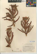
_N.E.Br._(AM_AK294955-1).jpg)
_N.E.Br._(AM_AK294955-2).jpg)
_N.E.Br._(AM_AK294955-3).jpg)
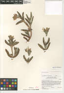
_N.E.Br._(AM_AK298323-1).jpg)
_N.E.Br._(AM_AK298323-3).jpg)
_N.E.Br._(AM_AK298323-2).jpg)