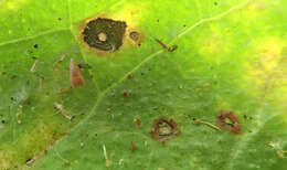
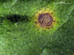
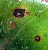
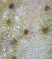
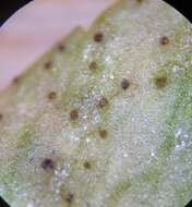
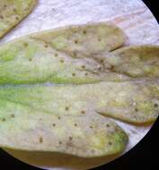
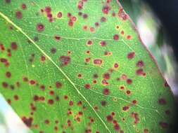
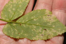
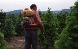
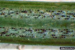
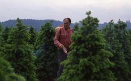
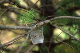
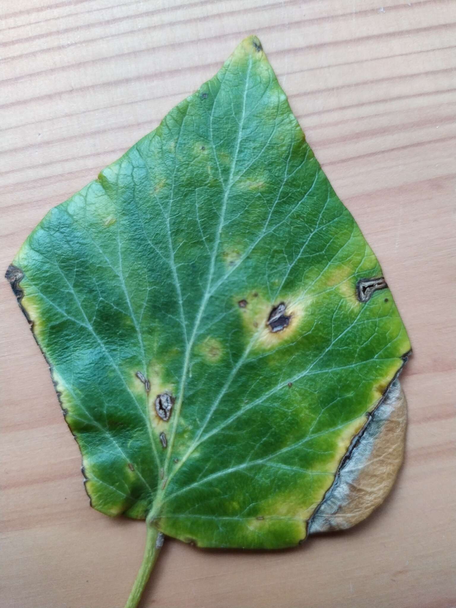
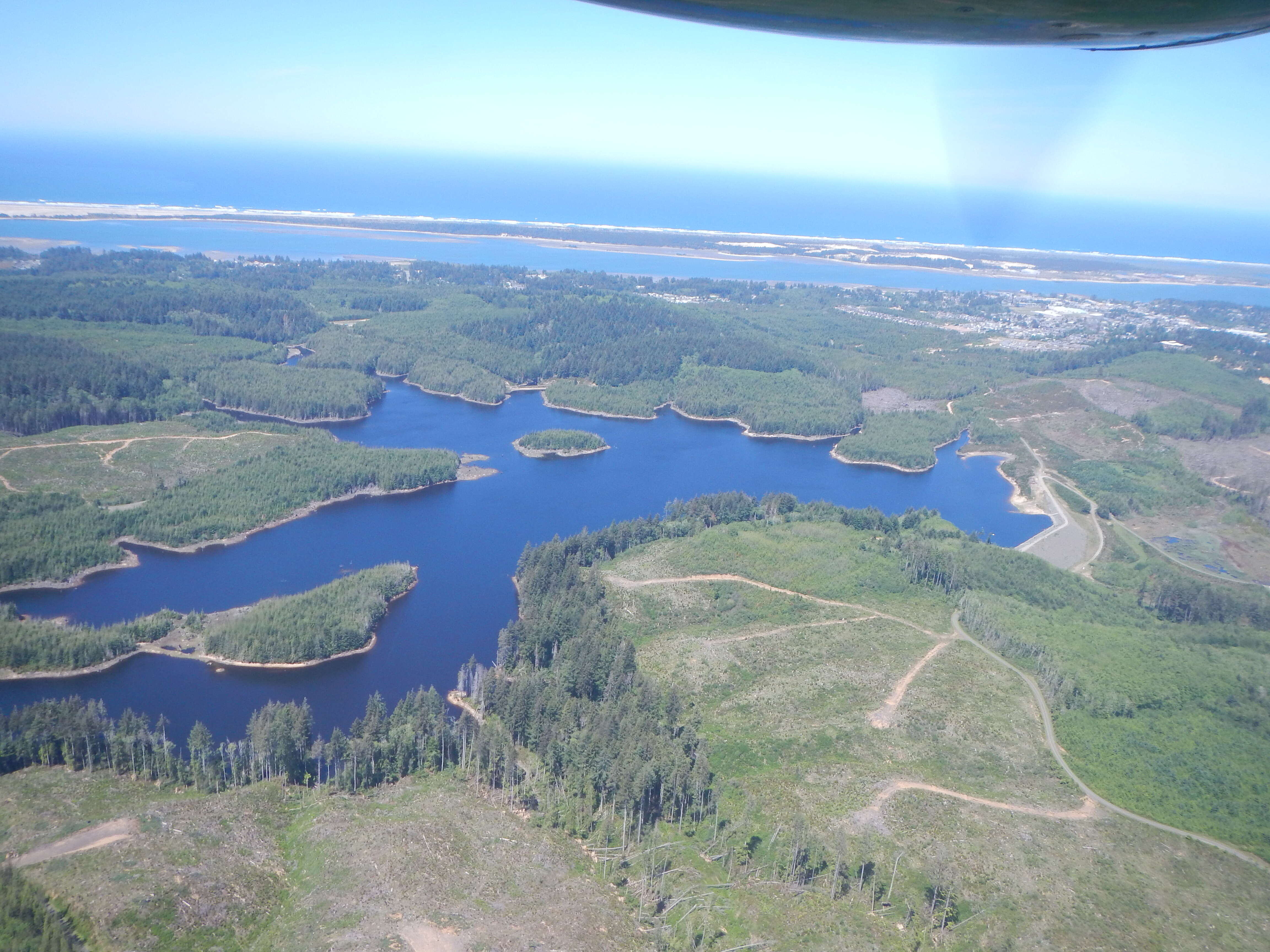
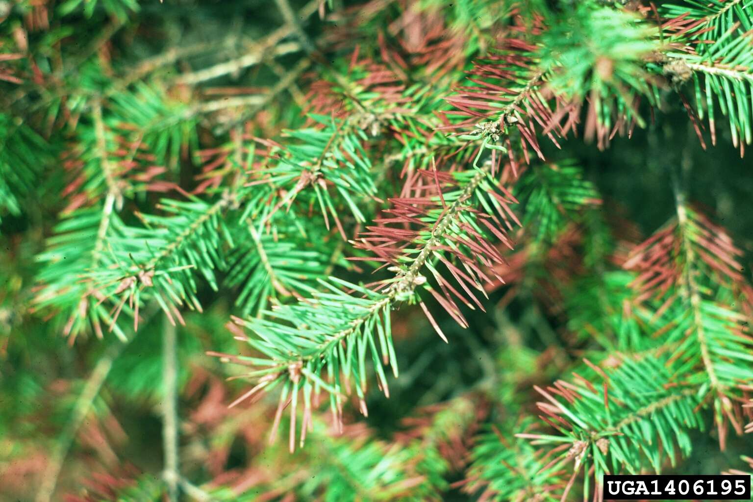
Description: Swiss needle cast aerial survey. Coos Bay/Florence area, Oregon. For maps and geospatial data collected during these surveys see:
sncc.forestry.oregonstate.edu/survey-maps Photo by: Ben Smith Date: May 10, 2016 Credit: USDA Forest Service, Region 6, State and Private Forestry, Forest Health Protection. Source: Aerial Survey Program collection. Image provided by USDA Forest Service, Region 6, State and Private Forestry, Forest Health Protection:
www.fs.usda.gov/main/r6/forest-grasslandhealth Public domainPublic domainfalsefalse. : This image or file is a work of a
United States Department of Agriculture employee, taken or made as part of that person's official duties. As a
work of the
U.S. federal government, the image is in the
public domain.
English |
español |
日本語 |
македонски |
Nederlands |
русский |
slovenščina |
українська |
+/− :. Date: 10 May 2016, 11:28. Source:
2016. Swiss needle cast aerial survey. Coos Bay/Florence area, Oregon.. Author:
R6, State & Private Forestry, Forest Health Protection.