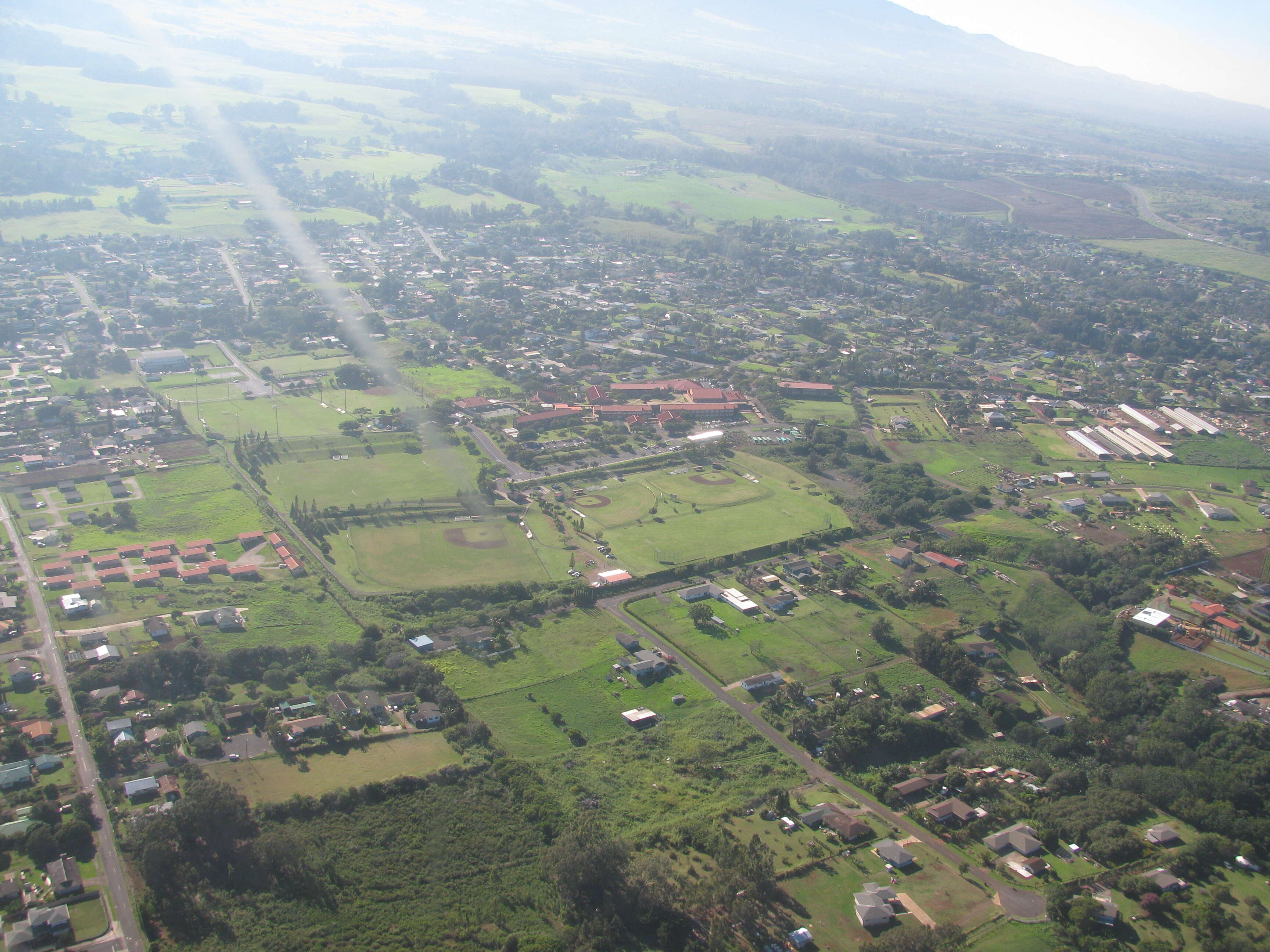
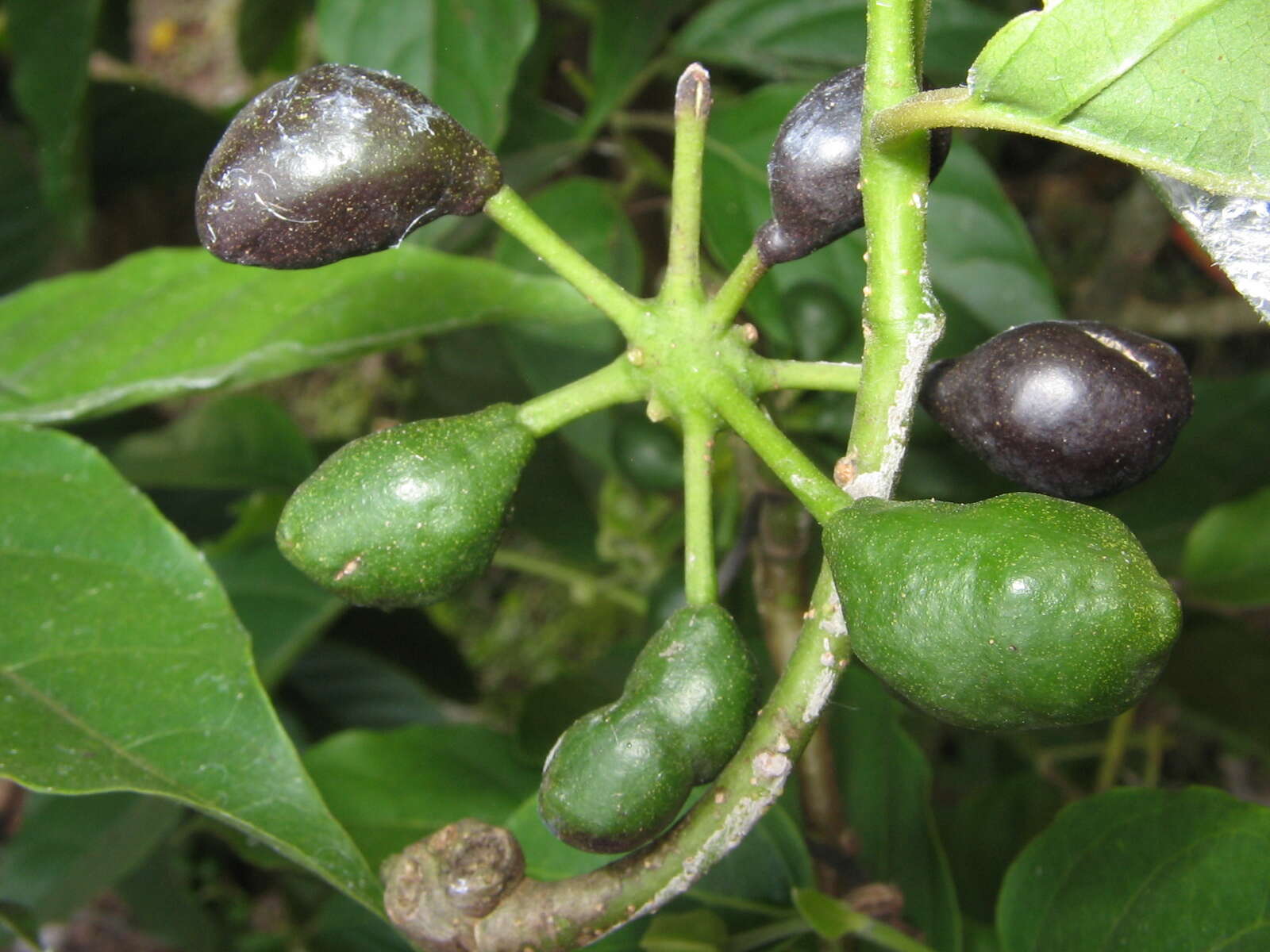
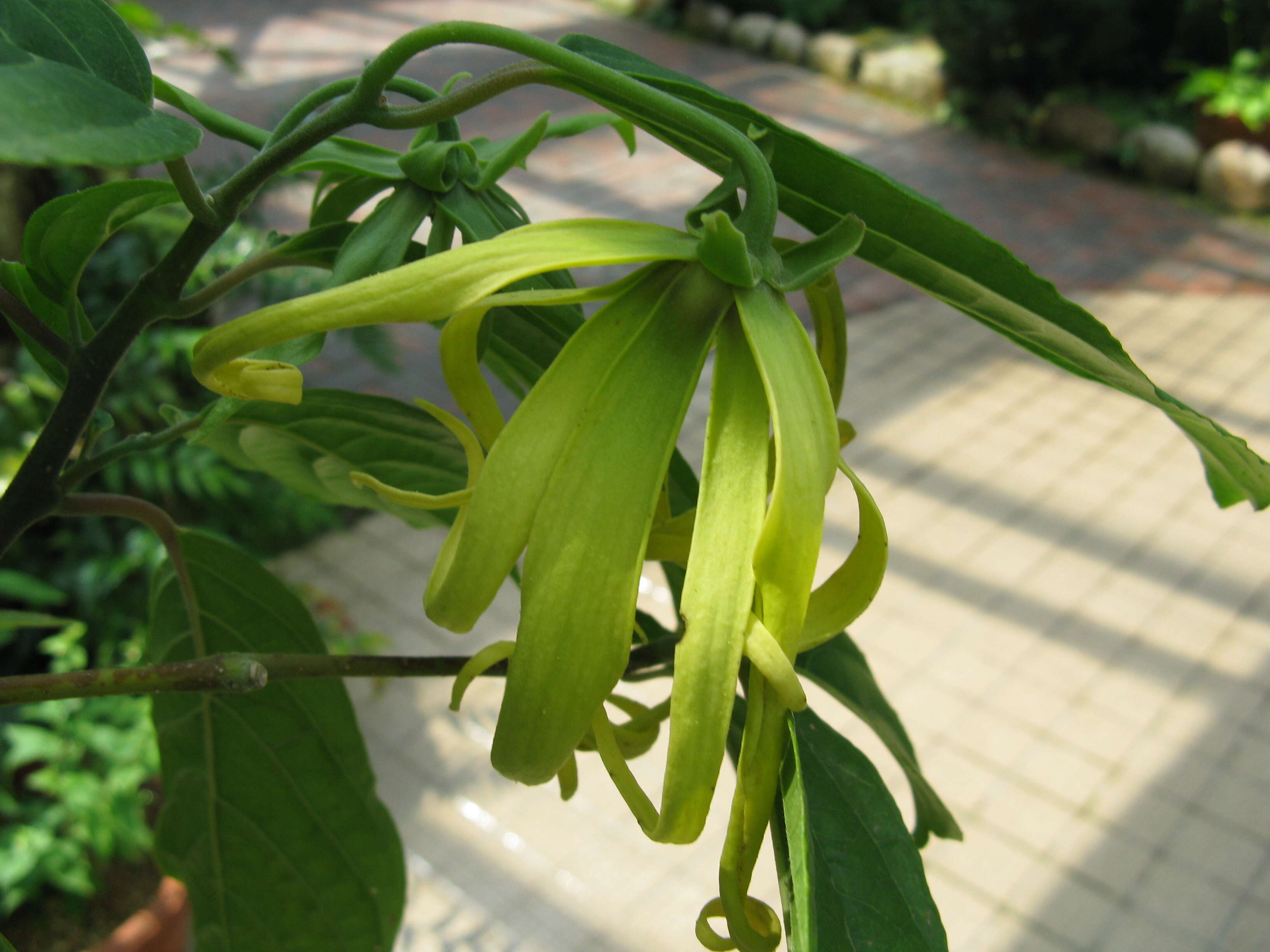
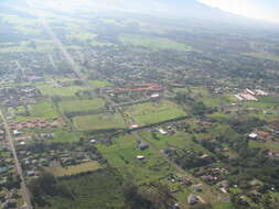
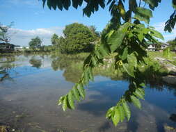
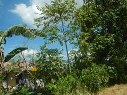
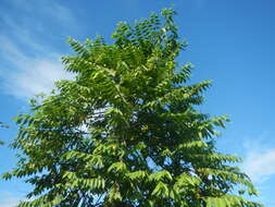
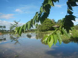
Description: English: Pulong Dayap, Calauan, Laguna Masapang, Victoria, Laguna Maranatha Christian Academy - Pentecostal Missionary Church of Christ, Victoria Masapang Bridges I & II
Calauan - Victoria Road Masapang Highway District highway welcome-boundary signs (Calauan - Victoria Road) of San Antonio, Pila, Laguna in Banca-banca, Victoria, Laguna
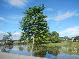
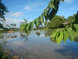
Barangays Masapang, Victoria, Laguna 14.1966, 121.3375
Banca-banca, Victoria, Laguna 14.2068, 121.3497
Daniw, Victoria, Laguna 14°11'51"N 121°21'13"E
Victoria, Laguna bounded by
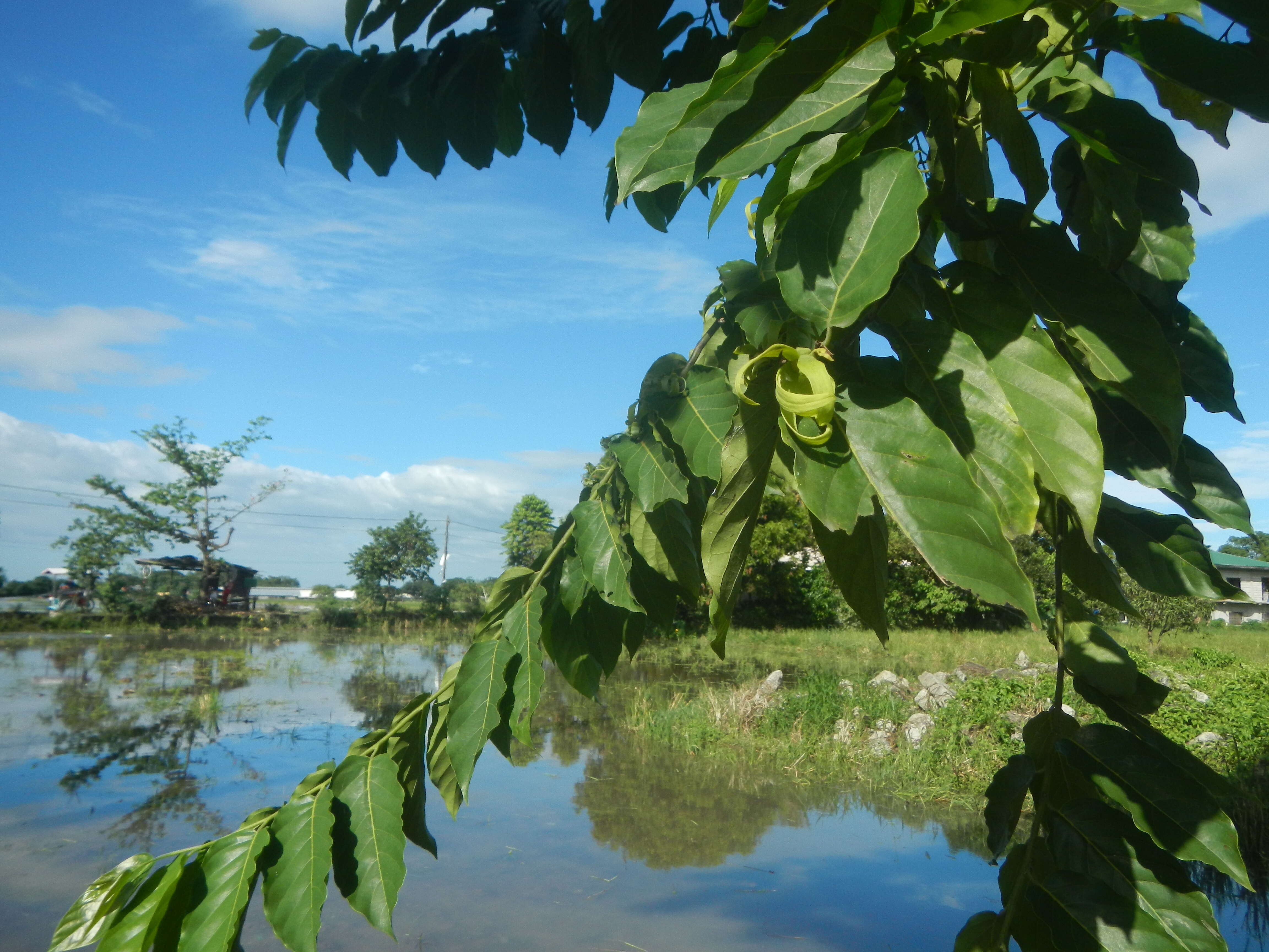
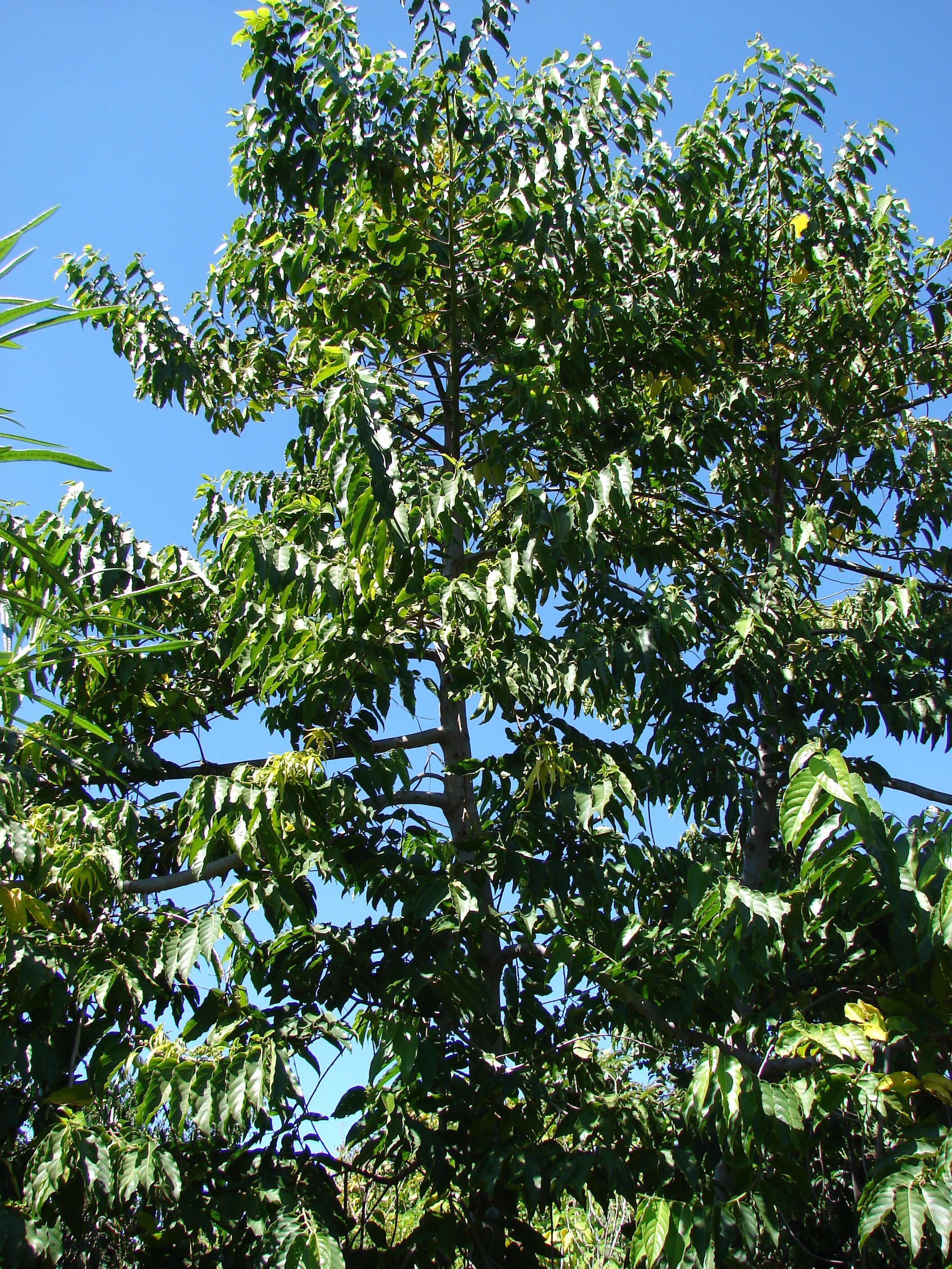
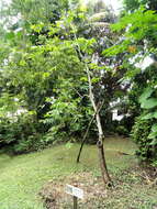
Barangay Pulong Dayap, Calauan, Laguna Latitude: 14°11'16.72" Longitude: 121°19'32.38"
Calauan,_Laguna from
en:Calamba–Pagsanjan Road to
Bay–Calauan–San Pablo Road Philippine highway network (Note: Judge Florentino Floro, the owner, to repeat, Donor
Florentino Floro of all these photos hereby donate gratuitously, freely and unconditionally Judge Floro all these photos to and for Wikimedia Commons, exclusively, for public use of the public domain, and again without any condition whatsoever). Date: 31 July 2019, 14:58:13. Source: Own work. Author:
Judgefloro. Camera location
14° 11′ 47.76″ N, 121° 20′ 15″ E View all coordinates using:
OpenStreetMap 14.196600; 121.337500.
Masapang, Victoria, Laguna 14.1966, 121.3375 Licensing[
edit] : This file is made available under the
Creative Commons CC0 1.0 Universal Public Domain Dedication. The person who associated a work with this deed has dedicated the work to the
public domain by waiving all of their rights to the work worldwide under copyright law, including all related and neighboring rights, to the extent allowed by law. You can copy, modify, distribute and perform the work, even for commercial purposes, all without asking permission. http://creativecommons.org/publicdomain/zero/1.0/deed.enCC0Creative Commons Zero, Public Domain Dedicationfalsefalse.